Read the surface
Fuse aerial photogrammetry, wheel feedback and local weather into a living model of the ground.
12 LAYERS / 30 HZ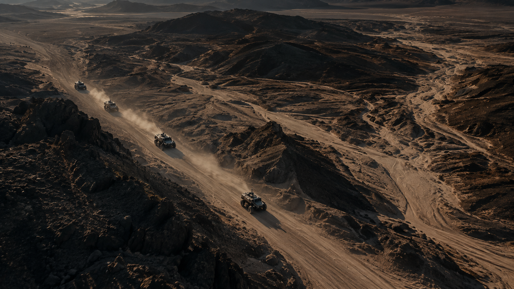
Autonomous terrain intelligence / 38.62° N
Caldera connects perception, autonomy and communications into one continuously resolved picture of the field.
Explore the platform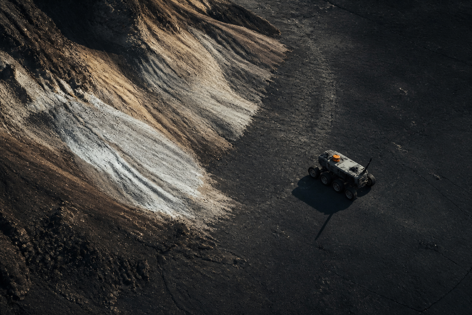
Forward survey rover
A compact autonomous field unit that reads grade, substrate and passability before a crew commits to the route.
Fuse aerial photogrammetry, wheel feedback and local weather into a living model of the ground.
12 LAYERS / 30 HZCompare traversable corridors continuously, then update the route as slope, dust and visibility change.
± 4.8 CM / RTKReposition mobile nodes around terrain shadow so every unit remains part of the same operational picture.
99.97% / UPLINKEvery sensing layer resolves against the same local coordinate model, so operators can move between surface, heat and network conditions without losing context.
Survey units establish a spatial baseline before a route is opened.
Onboard models turn raw depth, thermal and traction data into a shared field map.
The convoy moves with live path updates and human override always within reach.